EXCELLENT
SURVEYS, GUARANTEED TIMESCALE & COMPETITIVE
PRICE.
WELCOME TO DANDO SURVEYING LTD
Dando Surveying Ltd is a dedicated team of highly skilled individuals, based in the South West. We offer a wide range of surveying services across the UK and Europe.
Over 30 years, we have built an excellent reputation for a professional, reliable service, supplying accurate and detailed surveys to every sector, large and small.
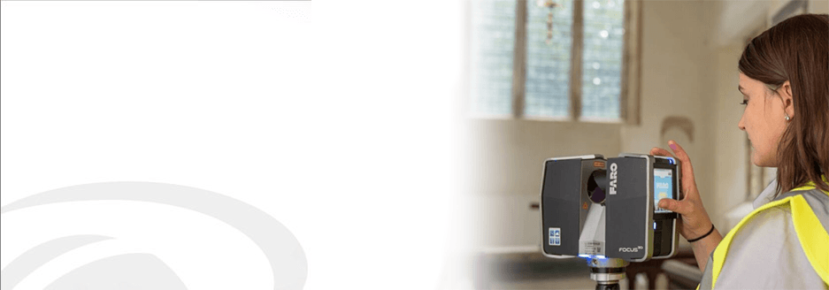
We use the most up-to-date and sophisticated surveying equipment, guaranteeing a cost effective service and impeccably presented surveys – delivered on-time.
We would be delighted to discuss your survey requirement and we pride ourselves in offering a product that is tailored exclusively to your needs.

