Building Information Modelling (BIM)
►
Initial Capture of scan data, ‘real world’ situation.
►
Supply of point cloud information in most formats.
►
Complete as-built 3D point cloud or 3D model.
The Government directive to deliver Building Information Modelling by 2016 means that the supply of BIM data is becoming ever more critical within the design and build industry.
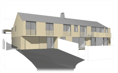
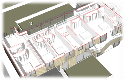
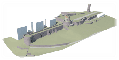
Dando Surveying Ltd can produce BIM models from measured survey data as the first stage of implementing a BIM workflow, on projects involving existing buildings and structures.
The virtual models we produce, can be easily passed to all professional parties during the project life-cycle including Architects, Planners and Engineers. These parties can then add industry specific data to the model ensuring efficient progression of the project whilst reducing the risk of mistakes, information loss and uncertainties. For the future, the model can be used for historical information purposes, facilitating extensions or refurbishments and reducing risk and expense.
Our surveys are carried out either by 3D Laser Scanning (see our section 3D Laser Scanning & Mapping), to produce a 3D point cloud of the site area, or by conventional means with a Total Station measuring 3D point data.


